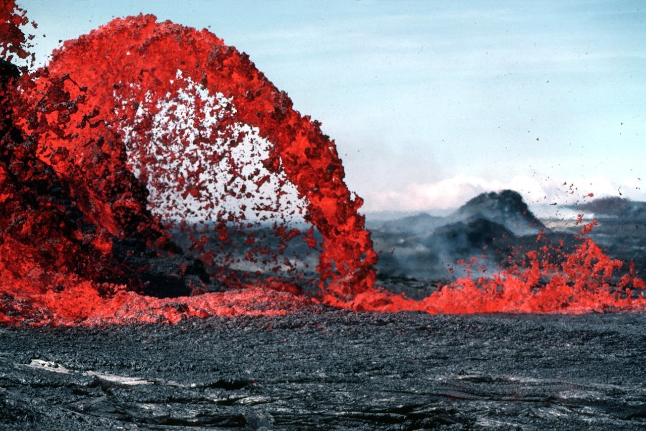
In May 2024, a new eruption began on Iceland’s Reykjanes Peninsula. Lava spread from the Sundhnúkur crater row near Grindavik. The event put roads, homes, and key sites at risk.
Grindavik had already faced months of unrest. Quakes and cracks had forced people to leave before. Each new burst of magma brought fresh concern.
The Blue Lagoon also sits in this active area. Closures and access changes became part of life as officials watched the lava and gas.
The eruption was not a single tall cone. Lava came from a long crack in the ground. This kind of fissure eruption can send lava over a wide area.
Drone views made the scale easy to see. Bright lava moved across dark ground while roads and barriers gave the scene a clear sense of size.
The footage is striking, but it also shows why people must follow local safety rules. Lava, gas, hot ground, and new cracks can all pose danger.
What Happened in May and June 2024
The eruption began on May 29, 2024. By June 22, the Icelandic Meteorological Office said visible activity had stopped. Its later mapping put the new lava field at about 9.3 square kilometers and about 45 million cubic meters.
The Icelandic Meteorological Office tracked the eruption with quakes, ground movement, gas data, satellite images, and field work. That kind of monitoring helps officials judge where danger may rise.
Why Grindavik Was at Risk
Grindavik sits close to the active fissure system. Lava crossed roads during the 2024 unrest. Deep cracks and ground shifts also made some areas unsafe even when lava was not moving toward them.
That makes this more than a lava story. It is also a story about roads, power, homes, and safe ways out. A different FootageVault report on the Francis Scott Key Bridge collapse shows how one event can disrupt travel and daily life far beyond the main danger zone.
The Blue Lagoon and Travel
The Blue Lagoon is near Svartsengi, so volcanic unrest can change access with little notice. Travelers should check current local alerts before they go. Old videos and old travel posts may not show today’s risk.
Iceland still offers many places to see away from an active hazard zone. Our guide to beautiful travel destinations includes Iceland and helps put the country’s wider appeal in context.
Good outdoor travel also means staying on legal routes and respecting closures. The practical trail etiquette guide from Noah’s Outdoors is a useful reminder to plan ahead and follow posted rules.
Why Fissure Eruptions Matter
Iceland lies on the Mid-Atlantic Ridge. The North American and Eurasian plates pull apart there. Magma can rise through cracks as the crust moves.
Fissure eruptions can build broad lava fields. The result looks very different from the classic cone-shaped volcano. For another look at landscapes shaped by volcanoes, see our Galápagos National Park guide.
Watching Volcanic Footage Safely
Drone footage can bring a dangerous event close without putting a viewer near the lava. It can also help show how fast a landscape can change.
If you want to follow eruptions from a safe place, a book about Iceland’s volcanoes can add useful background. A current Iceland travel map can also help you understand the towns, roads, and distances seen in reports.
The main lesson is simple. Volcanoes can change plans fast. Watch official alerts, respect closed areas, and never treat fresh lava as a safe tourist stop.